43 тысяч подписчиков
80 видео
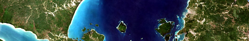
Create a Simple Deforestation Map using Google Earth Engine
Calculate Multiple Cities Average Temperature From 1995 - 2020 using Google Earth Engine
Mapping River Change 1990 - 2020 with Earth Engine
Create a Simple Sea Level Rise Simulation Application in Google Earth Engine
Mapping Jakarta Urban Sprawl From 1990 - 2020 using Earth Engine
Multi Temporal Land Cover Classification in Earth Engine
Future Population Prediction using WorldPop Data with Earth Engine
Predicting LST with Population, Rain, and Elevation using Random Forest Regression in Earth Engine
Export Many Imagery from Earth Engine
Developing an Application in Google Earth Engine to Create an Image Composite Multi Parameter
Creating Cloud-free Composite of Sentinel-2 and Landsat 8 & 9 using Google Earth Engine
Create Verra's JNR Deforestation Risk Map in Google Earth Engine
Land Cover Change Analysis Application using Maplibre, Next and Earth Engine
Better Image Visualization with Mininum and Maximum Stretching in Google Earth Engine
Adding Imagery from Earth Engine to QGIS without Download
Google Earth Engine Feature Collection to Shapefile without Download | GeoJSON
Object Based Image Analysis (OBIA) Classification in SAGA
How to Convert GIS Shapefile to Excel and Vice Versa | QGIS
Generate Topographic Position Index (TPI) in Earth Engine
Hansen Global Forest Change Web Map Tile Server with NodeJS, GDAL, and Cloud Optimized GeoTIFF
Quick Map Layout in QGIS
Object-based Land Cover Classification of Planetscope Imagery using Google Earth Engine
Calculate the Land Surface Temperature Average per Admin Area using reduceRegions in Earth Engine
Unsupervised Classification (Clustering) in Earth Engine
Land Cover Classification using a Simple Deep Learning Model (TensorFlow) with Earth Engine Data
Predict Future Land Cover in Google Earth Engine
Multi Temporal Image with Layer Stacking in ERDAS Imagine 2020
Visualize Category Data in Earth Engine Using Properties
How to Georeference an Imagery in QGIS
My IISMA Experience Studying in University of Twente, Netherlands
How to Add a Basemap in QGIS
Mapping Coastline Changes using Google Earth Engine
Download CHIRPS Daily Precipitation Data using Earth Engine
Deep Learning Satellite Imagery Land Cover Classification with U-Net
Create Urban Density Index using Spectral Indices and Convolution in Google Earth Engine
Sharpening Data Spatial Resolution in Earth Engine using Focal Operation
Generate Monthly Cloudless Composite Imagery in Google Earth Engine
Above Ground Biomass Prediction using Deep Learning Regression with Earth Engine and Tensorflow